


A Different Perspective.
A Clearer View.
We capture the view. You sell the property.
Show buyers the whole property. Show clients how the job is coming along.
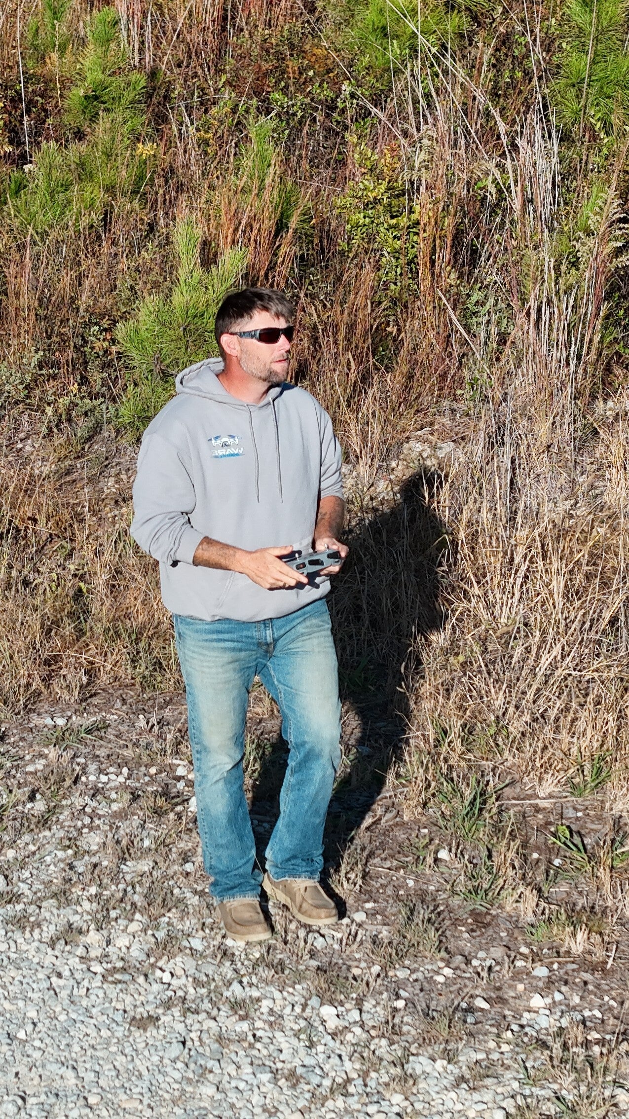
Ware Aerial LLC captures aerial photos and video you can put straight into a listing or send to a client who can’t visit the job site. We also offer thermal imaging for wildlife recovery. Based in Seale, we serve Russell County, Lee County, and nearby Georgia communities.
OUR CORE SERVICES
Professional Drone Solutions
High-quality aerial services for property owners, businesses, and outdoor projects.
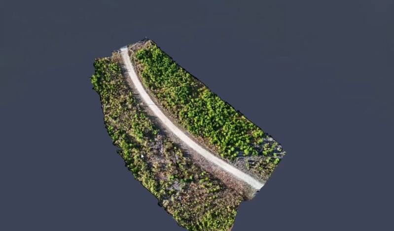

Aerial Photography
Capture properties, land, and outdoor spaces from a different perspective.


Aerial Videography
Professional aerial footage for properties, businesses, and personal projects.
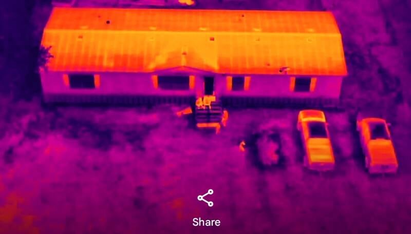
Thermal Imaging
Specialized thermal imagery for visual documentation and other suitable applications.
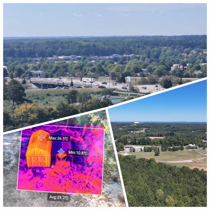
Capture your property from a whole new perspective with professional drone photography and video. Ideal for farms, hunting properties, timberland, ponds, fields, and rural land.
Capture your property from a whole new perspective with professional drone photography and video. Ideal for farms, hunting properties, timberland, ponds, fields, and rural land.
Property & Land Media
Aerial Services Built Around Your Needs
Aerial Photography
Aerial Video
Thermal Imaging
Real Estate & Property Media
Business & Promotional Content
Custom Aerial Media

See Your Property From a Different Perspective
Professional aerial photography, video, and thermal imaging for properties, businesses, land, and outdoor projects across Alabama.
From property photography and business media to thermal imaging, Ware Aerial provides high-quality aerial content that gives you a perspective you simply can't get from the ground.

Learn more about how we operate, our safety standards, and what you can expect when partnering with Ware Aerial LLC.
Frequently asked questions
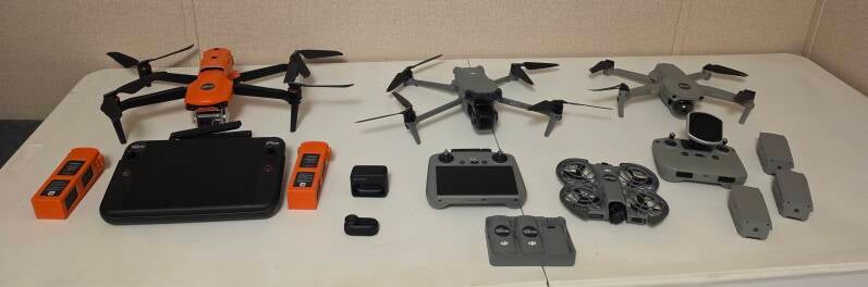
Ready to Get Started?
Based in Seale, serving Russell County and surrounding communities. Travel outside the local area may be available by request.
Service hours
By appointment. Flight scheduling depends on weather, daylight, airspace restrictions, and project requirements
(912)387-6677
Follow our flights
Create Your Own Website With Webador